
Tip: couldn't find your peak? Try the quick add in the search box — you might be able to add it anyway. You'll be asked for the date you climbed it.
Mount Kinabalu
Also known as Kinabalu · Gunung Kinabalu · Mt Kinabalu · Kinabalu Peak · Kinabalu Mountain
16, Malaysia

About Mount Kinabalu
Mount Kinabalu, 4,095 m, is the highest point of Malaysia and the highest mountain between the Himalaya and New Guinea. It rises out of the Borneo rainforest in Sabah, a granite dome so young it is still growing — the mountain is pushed up about half a centimetre a year.
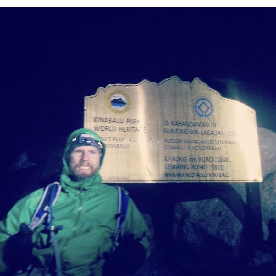
The climb is one of the world's great two-day walks: from Timpohon Gate (1,866 m) a well-made trail climbs through five vegetation zones to the Laban Rata resthouse at 3,272 m for the night, then a pre-dawn ascent on granite slabs — with fixed ropes on the steepest sections — to Low's Peak for sunrise. Permits, a guide and a bed at Laban Rata are all mandatory and booked out months ahead.
The first recorded ascent was in 1851 by the British colonial administrator Hugh Low, after whom the summit is named. Kinabalu Park is a UNESCO World Heritage Site with one of the richest floras on Earth — orchids, pitcher plants and the enormous Rafflesia flower grow on its slopes. The mountain can be climbed year-round; November to February is the wettest.
- Highest point of
- Malaysia
- Elevation
- 4,095 m (Low's Peak)
- Range
- Crocker Range, Sabah, Borneo
- First ascent
- 1851 — Hugh Low
- Route
- Timpohon Gate → Laban Rata → summit (2 days, permit + guide)
- Best season
- March to September (drier)
Source: Peakbagger.com — Mount Kinabalu · countryhighpoints.com — Malaysia, Kinabalu · SummitPost — Mount Kinabalu
6° 4′ 28″ N · 116° 33′ 30″ E
Map preview
Community ascents
- B
- M
- Martin GårdlingFebruary 2023
- Eric Gilbertson4 September 2019
Trip report: https://www.countryhighpoints.com/mount-kinabalu-malaysia-highpoint/


Sources
Elevations and peak facts come from Peakbagger.com and countryhighpoints.com. For peaks those two don't cover, route, approach and season notes may come from SummitPost — the source is always named on the page. Never Wikipedia.